🎉 Beta users receive 3 months of TerraBrain for FREE!
.svg)
Did you know that hitting an unmarked underground utility line occurs every 60 seconds in the United States? This startling fact underscores the critical importance of accurate utility location data in site development projects. Traditionally, civil engineers and developers have relied on a patchwork of methods to identify underground utilities, often with mixed results.
These conventional approaches typically involve:
While these methods have served the industry for decades, they come with significant limitations. Inaccurate or incomplete utility data can lead to:
As urban areas become more complex and congested underground, the need for advanced utility location methods has never been greater. Modern technologies are emerging to address these challenges, offering more precise and comprehensive data.
Let's explore some of the trends driving innovation in utility location data:
This video highlights key trends in the energy and utilities sector, many of which directly impact how we approach utility location and site development. As these technologies evolve, they're reshaping the landscape of site assessments and project planning.
At TerraBrain, we've seen firsthand how improved utility data can streamline site development processes. By aggregating verified property-related data, including utility information, into a single platform, we're helping civil engineers reduce research time and improve project outcomes.
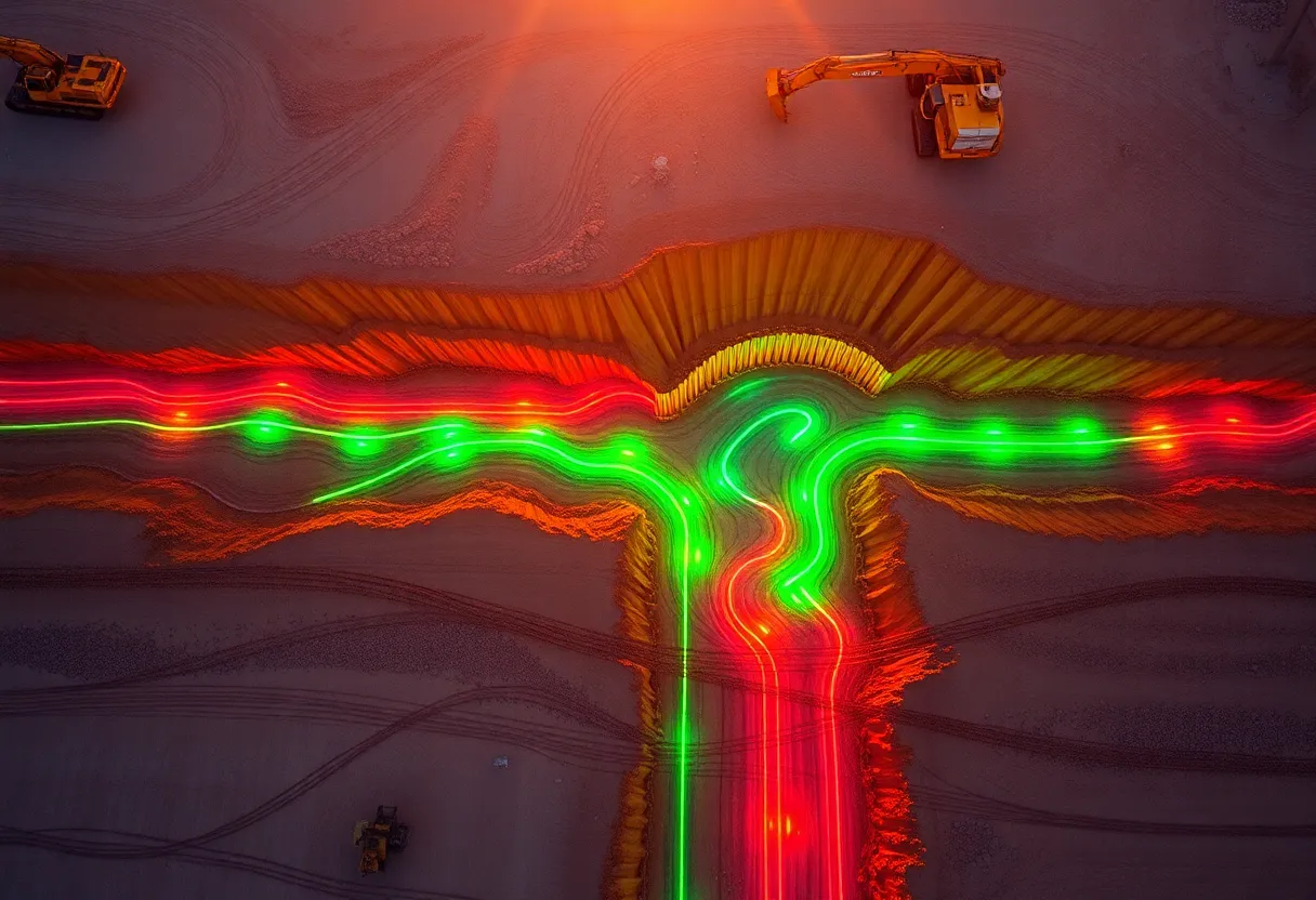
Utility location data is getting a major upgrade thanks to some cool new tech. LiDAR and 3D mapping are changing the game by creating super detailed models of underground infrastructure. It's like giving engineers x-ray vision to see what's beneath our feet.
GPS and GIS systems are also upping the accuracy game. They can pinpoint utility locations down to the centimeter, which is pretty wild when you think about it. No more guessing games or relying on outdated paper maps.
Speaking of seeing utilities, augmented reality is bringing sci-fi tech to construction sites. Workers can now use smart glasses to visualize underground pipes and cables in real-time as they walk around. It's like having utility superpowers.
This video dives deeper into some of the tech trends reshaping the utility industry. It's worth a watch to see how these tools are being put into practice.
The Internet of Things (IoT) is bringing utility data into the 21st century. Smart sensors are now constantly monitoring pipes, cables, and other infrastructure. This means we can spot issues before they become major headaches.
Cloud platforms are making it easy to share all this data in real-time. No more waiting for reports or playing phone tag. Everyone from engineers to city planners can access up-to-date info with a few clicks.
This constant stream of data is a game-changer for maintenance. We can now predict when a pipe might leak or a power line could fail. It's like giving utilities a crystal ball to see into the future.
Tools like TerraBrain are making it easier than ever to access and analyze this wealth of utility data. By bringing everything together in one place, engineers can make smarter decisions faster.
Artificial intelligence is taking utility mapping to the next level. AI can spot patterns in massive datasets that humans might miss. This means we can create more accurate maps of complex utility networks without the guesswork.
Machine learning algorithms are getting scary good at predicting where utilities might be located. They can analyze factors like soil type, historical data, and nearby infrastructure to make educated guesses. It's not perfect, but it's a huge time-saver for surveyors.
Key benefits of AI in utility mapping:The real power of AI comes from automating tedious tasks. Instead of humans poring over endless data points, AI can crunch the numbers and flag potential issues. This frees up engineers to focus on solving problems, not just finding them.
While AI is impressive, it's important to remember it's a tool, not a replacement for human expertise. The best results come from combining AI analysis with good old-fashioned engineering know-how. That's why platforms that bring together data and human insight, like TerraBrain, are so valuable for modern site development.
As utility location data becomes more precise and accessible, site development is poised for a major leap forward. The integration of advanced technologies and comprehensive databases is reshaping how engineers approach projects from the ground up.
Let's break down the key impacts this shift will have:
However, adopting these new tools and methods isn't without challenges. Many firms face hurdles in:
To fully harness the power of advanced utility location data, the industry needs to come together. Collaboration between utility companies, tech providers, and engineering firms is crucial for creating standardized data formats and sharing best practices.
Tools like TerraBrain are leading the charge by aggregating essential data from multiple sources into a single, user-friendly platform. This approach not only saves time but also promotes accuracy in project planning. As more firms adopt these comprehensive solutions, we'll likely see a ripple effect of increased efficiency across the entire site development process.
Looking ahead, the future of utility location data in site development is bright, but it requires a commitment to ongoing learning and adaptation. Engineers who embrace these new tools and data-driven approaches will have a significant competitive advantage in delivering projects that are safer, more cost-effective, and completed on time.
As the industry evolves, we can expect to see:
By staying ahead of these trends and leveraging comprehensive data platforms, civil engineers can position themselves at the forefront of a more efficient and innovative site development landscape.
Utility location data is changing how we approach site development. New tech and better data sharing are making it easier to find and map underground utilities. This saves time and money, and helps keep workers safe.
Staying up to date with these changes is key for anyone in construction or engineering. The old ways of doing things are getting left behind. Tools that bring all this data together in one place are becoming must-haves.
TerraBrain is one example of how these new trends are being put to use. It gathers utility info, zoning codes, and other important data all in one spot. This cuts down research time big time, letting teams focus on actual planning and building.
As we wrap up, it's clear that utility location data is a big deal for site development. The companies and pros who use these new tools and methods will have an edge. They'll work faster, safer, and smarter.
Want to learn more about how these changes might affect your next project? Check out our FAQ section below for some common questions and answers about utility location data trends.
New utility location technologies like advanced mapping and data integration tools can cut research time by up to 90%. For example, tasks that used to take hours, like finding zoning info, can now be done in minutes. This means projects can start faster and stay on schedule.
While there's an upfront investment, most firms find these tools pay for themselves quickly. They reduce costly mistakes from bad data and help avoid project delays. Over time, the efficiency gains often lead to significant cost savings and more competitive bids.
Many new tools are designed to be user-friendly and scalable. Small firms can start with basic plans that offer core features at lower costs. As needs grow, they can upgrade. Some platforms, like TerraBrain, even offer free trials so firms can test the tech before committing.
Modern utility location platforms pull data from various reliable sources, including government databases, satellite imagery, and historical records. They often combine public and private data to give a complete picture. This saves time that would otherwise be spent searching multiple websites and sources.
The accuracy of utility location data has improved greatly. Many tools now offer sub-meter precision. However, it's always smart to verify critical info on-site. The best platforms clearly state their accuracy levels and update their data regularly to ensure reliability.
Yes, many modern utility location platforms are designed with collaboration in mind. They often include features like shareable project links, real-time updates, and cloud storage. This makes it easier for team members to access and work with the same up-to-date information, whether they're in the office or on-site.