🎉 Beta users receive 3 months of TerraBrain for FREE!
.svg)
Environmental planning has come a long way since its early days of paper maps and manual surveys. The field has undergone a dramatic transformation, driven by technological advancements and a growing need for accurate, up-to-date information.
In the past, environmental planners relied heavily on:
The digital revolution brought significant changes to data collection and analysis in environmental planning:
These advancements laid the groundwork for the current shift towards real-time data in environmental planning. Today, planners can access a wealth of information instantly, allowing for more informed decision-making and quicker responses to environmental changes.
This video explores environmental performance evaluation, highlighting the importance of real-time data in assessing and improving environmental impacts.
The adoption of real-time data in environmental planning is growing, but challenges remain:
As these hurdles are addressed, the benefits of real-time data in environmental planning become increasingly clear. Tools like TerraBrain are helping planners access and analyze diverse data sources quickly, streamlining the site assessment process and improving project outcomes.
The future of environmental planning lies in harnessing the power of real-time data to make faster, more accurate decisions that protect our environment while supporting sustainable development.
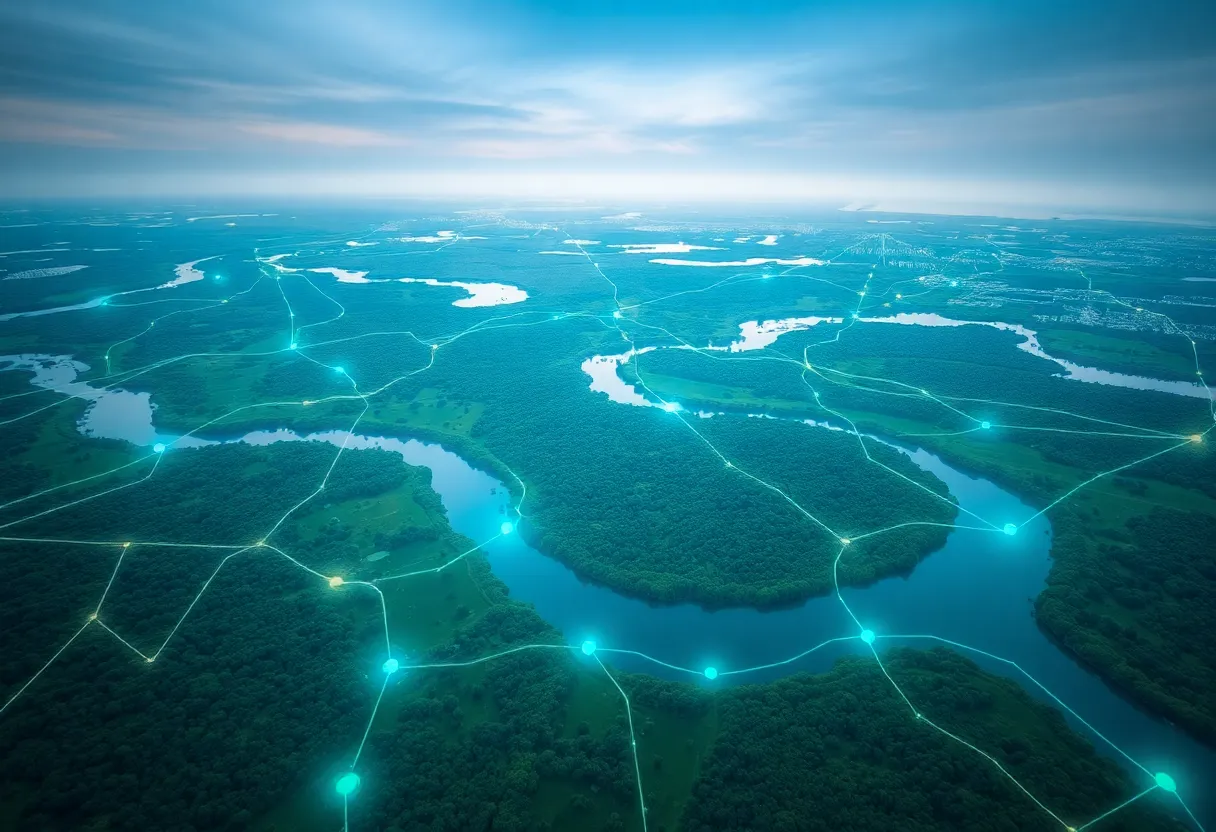
Real-time data is changing how we approach environmental planning. It gives us a live look at what's happening on the ground, helping us make smarter choices faster.
One of the biggest perks? Improved decision-making speed and accuracy. When you can see environmental changes as they happen, you can react quickly and confidently. This is huge for projects where timing is everything.
Another key advantage is enhanced monitoring of environmental changes. Real-time data lets us track shifts in air quality, water levels, or wildlife patterns as they occur. This ongoing insight helps us stay ahead of potential issues.
Let's not forget about the bottom line. Cost savings through early issue detection is a major win. By catching problems early, we can often fix them before they become expensive headaches.
While the benefits are clear, setting up real-time data systems isn't always a walk in the park. There are some hurdles to overcome:
Getting sensors to work in harsh environments and transmitting data from remote locations can be tricky. And once you have the data, you need to make sure it's accurate and trustworthy.
Integrating real-time data into existing processes often requires some adjustments. It's not just about the tech - it's about changing how people work and make decisions.
Real-time data is making waves across various environmental sectors. Let's look at some real-world examples:
In urban air quality monitoring, cities are using networks of sensors to track pollution levels minute-by-minute. This allows for quick responses like traffic rerouting when air quality dips.
For water resource management, real-time data from river sensors helps prevent flooding and ensures sustainable water use. One city reduced flood damage by 30% after implementing a real-time monitoring system.
This video showcases how real-time environmental data can be managed and monitored effectively using IoT technology.
Wildlife conservation efforts are also benefiting. GPS collars on endangered species provide live location data, helping rangers protect animals from poachers and track migration patterns.
These success stories highlight some key lessons:
As environmental challenges grow more complex, real-time data becomes increasingly valuable. Tools like TerraBrain are making it easier for engineers and planners to access and use this data effectively, cutting research time and improving project outcomes.
By embracing real-time data, we're not just reacting to environmental changes - we're staying one step ahead. And that's good news for our projects and our planet.
As real-time data reshapes environmental planning, we're seeing some exciting developments on the horizon. Let's dive into what the future might hold for this field.
Emerging technologies are set to supercharge real-time data capabilities:
These advancements open up new possibilities for environmental planners. Imagine getting instant alerts about air quality changes or real-time updates on wildlife movements. This level of insight could dramatically improve decision-making and response times.
Looking ahead, we can expect to see wider adoption of real-time data across the industry. This shift will likely bring about several changes:
As these trends take hold, tools that can efficiently gather and analyze real-time data will become essential. Platforms like TerraBrain are already paving the way, offering quick access to crucial site assessment data. This type of all-in-one solution could become the new standard for environmental planning professionals.
The impact of real-time data on environmental planning is just beginning to unfold. As technology continues to advance, we can look forward to more precise, responsive, and effective environmental management strategies. The key will be staying adaptable and embracing these new tools as they emerge.
Real-time data is changing how we approach environmental planning. It gives us faster insights, helps us make better decisions, and lets us respond quickly to changes. But it's not without its challenges. Getting the right data, making sure it's accurate, and using it effectively all take work.
For environmental planners, now's the time to start exploring how real-time data can fit into your projects. It might seem daunting at first, but the benefits are worth it. Tools like TerraBrain can help by putting all the data you need in one place, making it easier to get started.
As we move forward, real-time data will likely become a key part of environmental planning. By embracing it now, you can stay ahead of the curve and deliver better results for your projects and the environment. The next step? Learn more about how to use real-time data in your work. Check out the FAQ section below for some common questions and answers to get you started.
The cost varies based on project scale and complexity. Small projects might start around $5,000, while larger implementations can reach $100,000+. Many providers offer scalable solutions to fit different budgets. TerraBrain, for example, has plans starting at $79/month for access to real-time environmental data.
While any connected system has potential risks, reputable providers use strong encryption and security measures. It's crucial to choose a trusted platform and follow best practices for data protection. Always verify a provider's security protocols before implementation.
Training needs depend on the system's complexity. Basic platforms may require just a few hours of familiarization. More advanced tools might need several days of training. Many providers, including TerraBrain, offer onboarding support and resources to help teams get up to speed quickly.
Real-time data accuracy has improved significantly in recent years. Most systems now offer high levels of precision, often within 1-2% margin of error. However, it's important to regularly calibrate sensors and verify data against other sources for optimal accuracy.
Yes, many real-time environmental data platforms offer APIs and integration options. This allows seamless connection with GIS software, project management tools, and other common systems used in environmental planning. When choosing a solution, check its compatibility with your current tech stack.